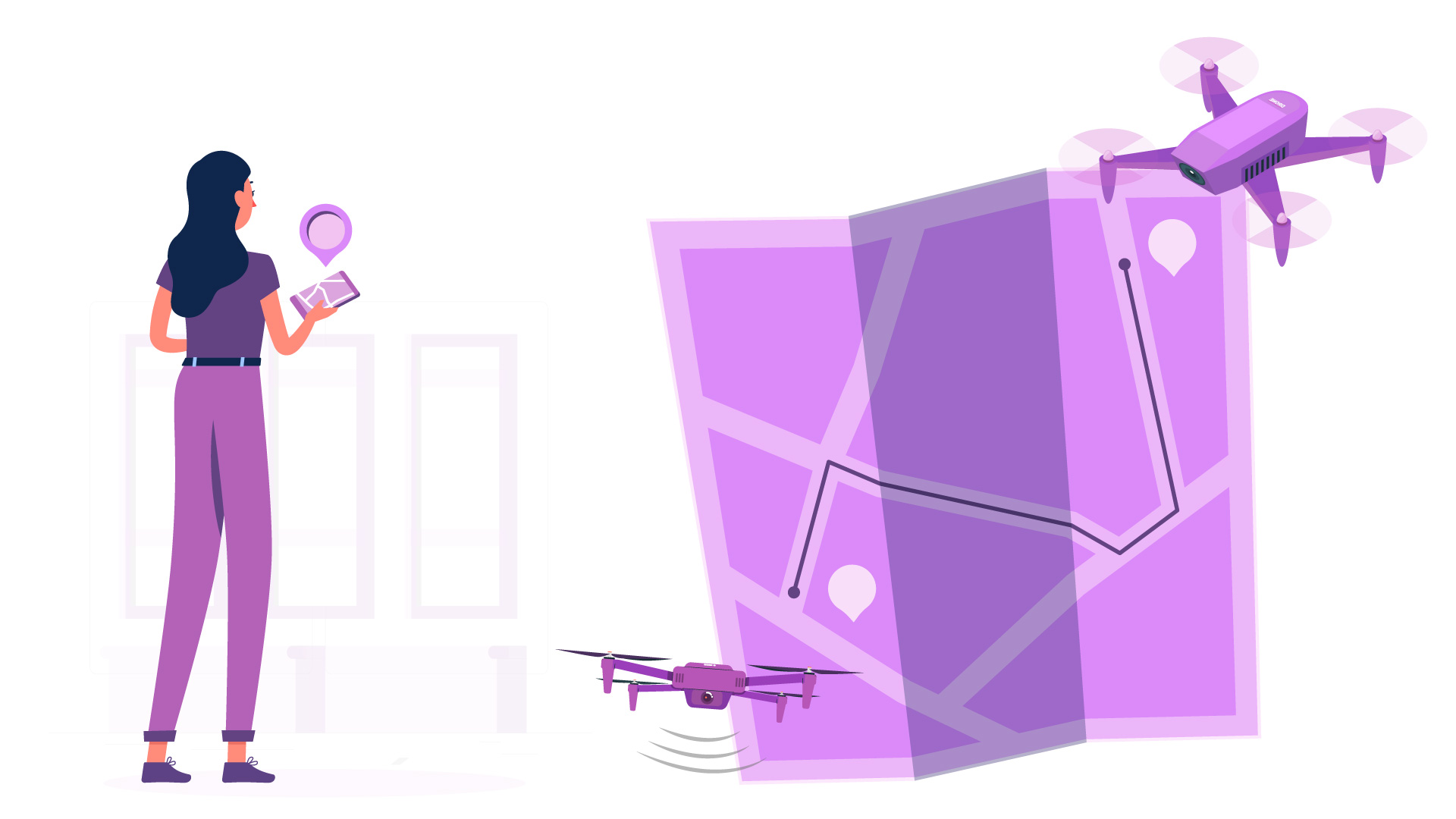
Drone mapping turns aerial photographs into 2D orthomosaic maps, 3D terrain models, and volumetric calculations that construction companies, farms, mines, and civil engineers pay $400-1,200 per day to obtain. The work requires a Part 107 certificate, a mapping-capable drone, photogrammetry software, and the ability to deliver outputs in formats clients can actually use. The barrier to entry is lower than most people assume, but the gap between flying a drone and delivering a professional mapping product is where most new operators stall.
The core workflow is straightforward. Fly a grid pattern over a site, overlap each photo by 70-80%, process the images in software like Pix4D or Agisoft Metashape, and export the orthomosaic or 3D model in the file format your client needs. A 50-acre construction site takes about 2-3 hours of flight time and 4-8 hours of processing. The deliverable might be a GeoTIFF for a GIS department, a DXF for a CAD engineer, or a simple PDF map for a project manager.
This guide covers equipment selection, software options with real pricing, certification requirements beyond Part 107, where to find paying clients, and how to build a portfolio that wins contracts.
What Is Drone Mapping and Who Pays for It?
Construction, agriculture, and infrastructure are the three largest markets for commercial drone mapping services
$400Entry day rate
$1,200Complex mapping day rate
2-3 hrsTypical flight for 50 acres
How Photogrammetry Works
Drone mapping uses photogrammetry: the science of making measurements from photographs. The drone flies a systematic grid pattern over a site, capturing hundreds or thousands of overlapping images. Software identifies common features across multiple photos (called tie points), calculates camera positions using GPS data embedded in each image, and stitches everything together into a single, georeferenced output. The result is either a 2D orthomosaic (a flat, map-like image corrected for perspective distortion) or a 3D point cloud and surface model that shows terrain elevation.
Industries That Pay for Drone Mapping
Construction: progress tracking, earthwork volume calculations, site planning. Contractors compare monthly orthomosaics to detect deviation from plans. Rates: $400-800 per site visit.
Agriculture: NDVI crop health imaging using multispectral cameras identifies stressed vegetation before it is visible to the naked eye. Rates: $8-15 per acre.
Mining and aggregates: stockpile volume calculations replace manual surveying. A drone can measure a 500,000 cubic yard stockpile in 30 minutes. Rates: $500-1,200 per site.
Civil engineering: topographic surveys for road design, grading plans, and flood modeling. Rates: $600-1,200 per day depending on accuracy requirements.
Real estate development: land assessment, boundary visualization, and pre-construction site documentation. Rates: $300-600 per project.
The Income Opportunity
Full-time drone mapping operators typically earn $60,000-120,000 annually depending on location, specialization, and client base. The higher end requires RTK-capable equipment and relationships with engineering firms who need regular data. Part-time operators supplementing another income can realistically bill $2,000-5,000 per month with 2-3 clients. The work is project-based, so income fluctuates seasonally (construction slows in winter in many regions). For a broader look at drone income opportunities, see our guide to making money with drones.
Tip: Construction progress tracking is the easiest entry point for new mapping operators. Construction companies need monthly or weekly orthomosaics, which creates recurring revenue rather than one-off projects.
Equipment You Need for a Drone Mapping Business
The DJI Mavic 3 Enterprise or a dedicated mapping drone with RTK GPS is the foundation of a mapping business
Mapping Drones: What to Buy at Each Budget Level
Drone
Price
RTK
Camera
Best For
DJI Mavic 3 Enterprise
~$4,500
Optional RTK module
4/3 CMOS, 20 MP
Best value for most operators
DJI Matrice 350 RTK
~$11,000
Built-in RTK
Interchangeable payloads
Professional survey-grade work
Autel Evo II Pro RTK V3
~$6,500
Built-in RTK
1-inch CMOS, 20 MP
Non-DJI alternative with RTK
DJI Mavic 4 Pro
~$2,200
No
1-inch Hasselblad, 20 MP
Budget entry (GCP-dependent)
RTK vs. Ground Control Points (GCPs)
RTK (Real-Time Kinematic) positioning gives your drone centimeter-level GPS accuracy during flight, which means your output map is accurate to 1-2 cm horizontally without any ground work. Without RTK, standard GPS is accurate to 1-3 meters, which is unacceptable for most professional mapping. The alternative is placing Ground Control Points (GCPs), which are physical targets with known GPS coordinates that you survey with a base station before flying. GCPs can achieve similar accuracy to RTK but add 1-2 hours of field work per site.
For starting out, a DJI Mavic 3 Enterprise with GCPs is the most cost-effective approach. As your client base grows and time efficiency becomes critical, upgrading to RTK (either the M3E RTK module or a Matrice 350 RTK) pays for itself by eliminating the GCP setup time. For more detail on these specific drones, see our best drones for surveying and mapping guide.
Essential Accessories
Extra batteries: mapping flights drain batteries fast due to continuous flight at steady altitude. Budget for 4-6 batteries per drone.
High-endurance SD cards: 256 GB minimum. Mapping generates thousands of images per flight. See our SD card recommendations.
iPad or tablet: for field monitoring with DJI Pilot 2 or third-party flight apps.
Hard case: transporting a $4,500+ drone to construction sites and mine pits requires proper protection.
Landing pad: construction sites are dusty. A landing pad protects propellers and sensors from debris.
GCP targets and survey tripod: if not using RTK, budget $2,000-4,000 for a GNSS rover and GCP targets.
Note: Total startup equipment cost ranges from $3,000 (used Mavic 3 Enterprise + GCPs) to $15,000+ (Matrice 350 RTK + processing laptop + accessories). The DJI Mavic 3 Enterprise at ~$4,500 with the optional RTK module (~$1,500 additional) is the sweet spot for most new operators.
Drone Mapping Software: From Flight Planning to Deliverable
Software costs are often the hidden expense in drone mapping: plan for $200-$700/month
$350/moPix4Dmapper
$329/moDroneDeploy
$179Metashape (one-time)
Flight Planning Software
Mapping flights must follow precise grid patterns with consistent altitude, speed, and image overlap. You cannot fly these manually. Flight planning apps automate the process:
DJI Pilot 2 (free with DJI Enterprise drones): built-in mapping mission mode with adjustable overlap, altitude, and speed. Works only with DJI hardware.
DroneLink ($30/month): third-party flight planning that works with most DJI drones, including consumer models. Allows complex multi-battery missions and terrain following.
Mission Planner (free, open-source): for ArduPilot-based drones. Not compatible with DJI.
Litchi ($25 one-time): basic waypoint missions for DJI consumer drones. Functional for simple mapping but lacks terrain following.
Processing Software
After flying, the images must be processed (stitched, georeferenced, and exported). This is the most computationally intensive step and where software costs add up:
Software
Cost
Strengths
Weaknesses
Pix4Dmapper
$350/mo or $3,990/yr
Industry standard, excellent accuracy, strong support
Expensive for beginners
DroneDeploy
$329/mo
Cloud-based (no powerful PC needed), easy sharing
Subscription only, less control over processing
Agisoft Metashape Standard
$179 one-time (perpetual)
Best value, powerful, full control
Steeper learning curve, local processing only
OpenDroneMap
Free (open-source)
No cost, community-supported
Limited support, requires Linux comfort
DJI Terra
~$3,500/yr
Tight DJI integration, real-time processing
DJI drones only, expensive
Output Formats Clients Actually Need
Understanding which output format each client needs separates professional operators from hobbyists:
GeoTIFF orthomosaic: the standard output. A georeferenced aerial image that GIS departments can overlay on existing maps. Used by nearly every client.
Point cloud (LAS/LAZ): 3D data showing elevation of every point on the surface. Used by surveyors and engineers for volume calculations and terrain modeling.
DXF/DWG (AutoCAD): contour lines and surface models that civil engineers import directly into CAD software. This is what road designers and grading contractors need.
KMZ (Google Earth): simple, visual output for clients who want to see their site in Google Earth without specialized software. Good for presentations and initial assessments.
PDF report: for non-technical project managers. Include the orthomosaic, key measurements, and a summary. Many clients at the $400-600 day rate only need this.
Tip: Start with Agisoft Metashape Pro ($179 one-time) if you are budget-conscious. It does everything Pix4D does for most mapping applications, and the perpetual license means no recurring costs eating into your margins during the startup phase.
Certifications and Legal Requirements for Drone Mapping
LiDAR and photogrammetry require different hardware, software certifications, and client deliverable formats
Part 107 Is the Minimum
Every commercial drone operation in the United States requires a Part 107 Remote Pilot Certificate. The test costs $175, covers airspace, weather, and regulations, and is valid for 24 months with free online renewal. Part 107 is non-negotiable: no certificate, no legal commercial flights. For mapping specifically, you may also need LAANC authorization if your project site is near an airport or in controlled airspace, which is common for construction sites in urban areas.
Liability Insurance
Most commercial mapping clients require proof of insurance before allowing you on their site. The standard requirement is a $1 million general liability policy with a Certificate of Insurance (COI) naming the client as an additional insured. Drone-specific liability insurance costs approximately $500-1,200 per year for a solo operator. Some providers offer per-flight coverage at $10-25 per flight for operators who do not fly frequently enough to justify an annual policy. For details on coverage options and pricing, see our drone insurance cost guide.
Important: Construction companies will not let you on site without insurance. Do not plan your first client visit without a COI ready to send. Get the insurance before you start marketing, not after your first client asks for it.
Drone Mapping Is Not Land Surveying
This distinction trips up many new operators. In most U.S. states, producing a legal boundary survey, a property line determination, or a certified topographic survey requires a Professional Land Surveyor (PLS) license. Drone mapping operators without a PLS license can legally collect the aerial data and produce orthomosaics, point clouds, and 3D models, but they cannot stamp the output as a legal survey.
The practical solution is to partner with licensed land surveyors. You fly the drone and process the data; they review it, add their professional stamp, and deliver it as a legal document. This is common in the industry and can be a mutually beneficial arrangement: surveyors get data collection capability without buying a drone, and you get access to their client base.
Additional Certifications That Win Contracts
OSHA 10 or OSHA 30: safety certification required by many construction sites before granting site access. OSHA 10 costs about $25 online and takes 10 hours.
ISO 9001 awareness: some government and large corporate clients require quality management system compliance. Having awareness of ISO 9001 processes (even without formal certification) helps in proposal writing.
Pix4D or DroneDeploy certification: both offer free online training and certification that you can list on proposals to demonstrate software competency.
Note: State laws on drone mapping and surveying vary significantly. Some states (like Oregon and Virginia) have specific statutes defining what drone operators can and cannot produce without a surveying license. Check your state's Board of Professional Land Surveyors for local rules before marketing survey-related services.
Finding Your First Drone Mapping Clients
Who to Contact and How
The fastest path to your first mapping client is not advertising to the general public. It is contacting specific people at specific types of companies who already need the data:
Construction project managers: they track earthwork progress and need monthly or weekly orthomosaics. Search for active construction projects on local permitting databases and contact the general contractor's project manager directly.
Civil engineering firms: they already have the survey client but may not have drone capability. Position yourself as a subcontractor who provides flight data. They process it or you process it to their specifications.
Agricultural co-ops: crop health imaging (NDVI) and field condition assessment. Approach the co-op's agronomist, not the individual farmer.
County GIS departments: many county governments contract out aerial imaging for tax assessment, infrastructure planning, and emergency management. Check county procurement portals for RFPs.
Real estate developers: pre-construction site documentation and progress tracking for lenders. Contact the development company's project coordinator.
Building a Portfolio That Wins Work
Potential clients need to see output examples before they will hire you. The problem is that you need clients to get output, and you need output to get clients. Break this cycle by doing 2-3 free or low-cost mapping projects across different industries. Map a local construction site (ask the foreman, most will say yes if you offer free data), a farm field, and a gravel pit or quarry. Process each into a different deliverable type: orthomosaic, 3D model, and volume calculation. Display these on a simple portfolio website with before/after comparisons and accuracy metrics.
Proposal Elements That Close Deals
Professional mapping proposals should include:
Deliverable list: exactly what the client will receive (orthomosaic, point cloud, contour map, volume report)
Accuracy specification: horizontal and vertical accuracy (e.g., 2 cm horizontal with RTK, or 5 cm with GCPs)
Turnaround time: when they will receive the processed data after the flight (typically 24-72 hours for standard projects)
Equipment list: drone model, camera specs, RTK capability, software used
Insurance and certification: COI, Part 107 number, any additional safety certifications
Price: fixed project price is standard for mapping, not hourly rates. Quote per site visit or per deliverable.
Tip: Your first 3-5 clients will almost always come from direct outreach, not inbound marketing. Walk onto an active construction site (during business hours, wearing a safety vest, with business cards), introduce yourself to the project manager, and offer a free demonstration flight. If the output is good, the conversion rate from free demo to paying client is very high.
FAQ
Full-time drone mapping operators typically earn $60,000-120,000 annually. Day rates range from $400 for simple orthomosaics to $1,200 for complex multi-deliverable mapping jobs. Part-time operators can realistically bill $2,000-5,000 per month with 2-3 regular clients. Income is project-based and may fluctuate seasonally in regions where construction slows in winter.
You need two types of software: flight planning (DJI Pilot 2 is free with DJI Enterprise drones, DroneLink costs $30/month) and image processing (Agisoft Metashape Pro at $179 one-time is the best value, Pix4Dmapper at $350/month is the industry standard, DroneDeploy at $329/month offers cloud processing). Most beginners should start with Metashape to keep costs low.
No, but you cannot produce legal boundary surveys or stamped topographic surveys without a Professional Land Surveyor (PLS) license. You can legally collect aerial data, produce orthomosaics, 3D models, and volume calculations. For outputs that require a professional stamp, partner with a licensed surveyor who reviews and certifies your data. State laws vary, so check your local Board of Professional Land Surveyors.
The DJI Mavic 3 Enterprise (~$4,500) with the optional RTK module is the best value for most operators starting out. For professional survey-grade work, the DJI Matrice 350 RTK (~$11,000) offers interchangeable payloads and built-in RTK. The Autel Evo II Pro RTK V3 (~$6,500) is a solid non-DJI alternative. See our full comparison in the best drones for surveying and mapping guide.
With RTK positioning, drone mapping achieves 1-2 cm horizontal accuracy and 2-3 cm vertical accuracy. With standard GPS and Ground Control Points (GCPs), accuracy is typically 3-5 cm horizontal. Without GCPs or RTK, standard consumer drone GPS gives 1-3 meter accuracy, which is insufficient for most professional mapping applications.
Processing time depends on the number of images and your computer hardware. A typical 50-acre site (500-800 images) takes 2-6 hours to process on a modern laptop with 32 GB RAM and a dedicated GPU. Larger sites with thousands of images can take 12-24 hours. Cloud-based solutions like DroneDeploy handle processing on their servers, which frees up your computer but adds subscription cost.
Technically yes, but the results will be limited. Consumer drones like the DJI Mini 4 Pro lack RTK, have smaller sensors, and do not support automated mapping flight modes natively (you would need third-party apps like DroneLink). The output accuracy will be 1-3 meters without GCPs. This is acceptable for basic site overviews but not for professional deliverables where clients expect centimeter-level accuracy.
Start with direct outreach to construction project managers, civil engineering firms (as a subcontractor), agricultural co-ops, and county GIS departments. Visit active construction sites with a portfolio of sample outputs and offer a free demonstration flight. The conversion rate from free demo to paying client is high because project managers can immediately see the value of overhead site imagery compared to ground-level photos.
Paul Posea founded Dronesgator in 2015 and has been reviewing consumer drones for over a decade. With 195 YouTube drone reviews drawing 3.55 million views and published work on Digital Photography School, he combines hands-on flight testing with data-driven analysis to help pilots find the right drone.
Marcus Taylor is a UK CAA certified drone pilot and owner of Deployed Consultancy Ltd. With 6 years of commercial experience spanning UN site surveys in West Africa, aerial photography across Europe, Africa, and Japan, and defence consulting, he verifies the technical accuracy of Dronesgator's drone reviews and guides.